
Created in 1991 by Fort Wayne Parks and Recreation with 6 initial sections, the Adopt-A-Greenway program has been a way for individuals, groups, or organizations to support the trails with a commitment to helping keep the trails clean and beautiful. The program found a home with the City of Fort Wayne Greenways and Trails Department for many years and dozens of groups helped keep the trails within the city limits clean. As the network has grown and continues to extend further and further into the County it only made sense for Fort Wayne Trails to continue the growth of this amazing program. We acquired the program in early 2024 and have started extending the program to include all trails within Allen County. The program as grown from its first 6 sections to over 75 and is still growing as more trails are built.
Thank you so much for your interest in adopting a section of trail.
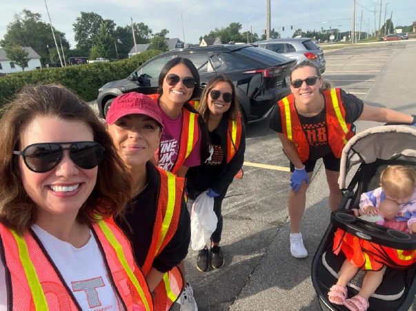
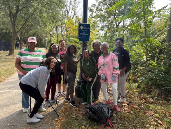
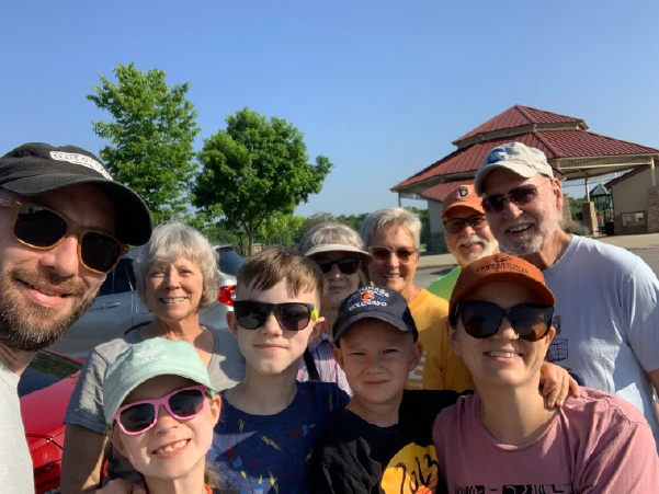
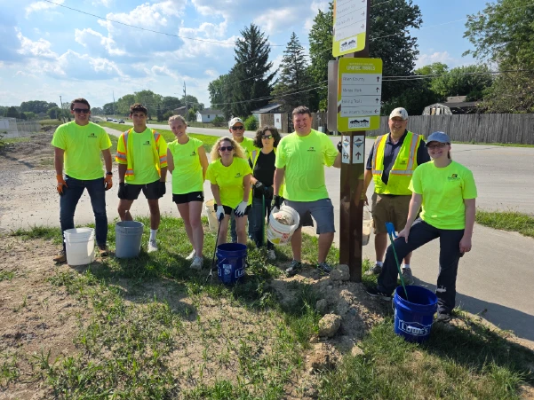
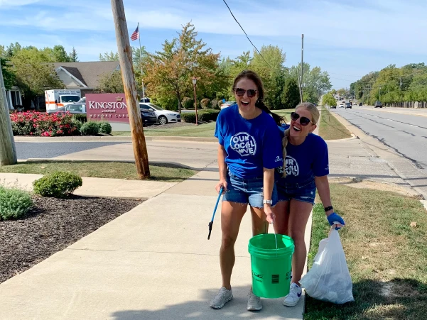
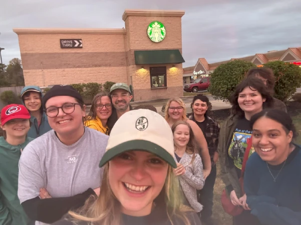
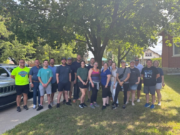
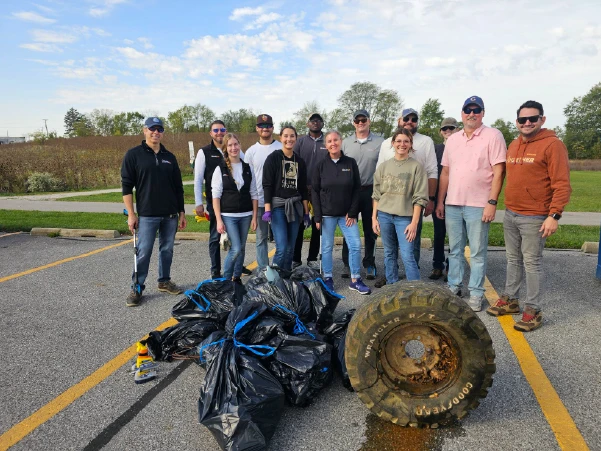
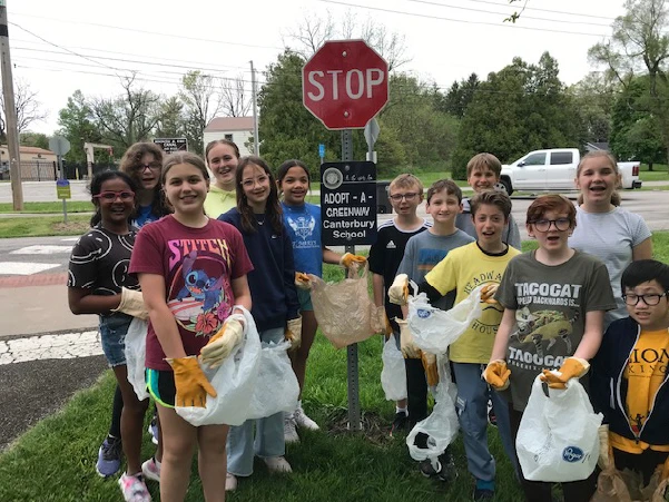
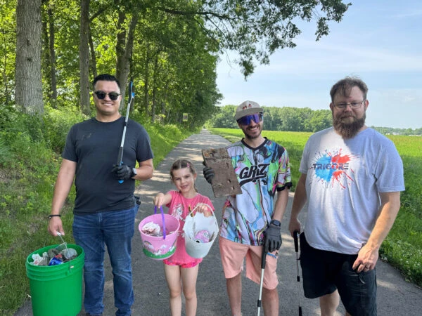
Our Adopt-A-Greenway groups help keep the trails looking beautiful all year round.
1. Assemble your team! Do you have a group of friends or an organization that you are of that is interested? Great!
2. Email our Director of Community Engagement or call our office about your interest and if you have a specific section of available trail that your group in interested in.
3. Sign your Adopt-A-Greenway contract! Our Director of Community Engagement will share this with you once a trail section is decided upon. This contract must be renewed every two years.
4. You are officially ready to start scheduling clean-up dates! To start this process, please fill out our pre-clean up form, familiarize yourself with our safety checklist and print a waiver for your group members to sign the day of your cleaning!
5. CLEAN YOUR TRAIL!
6. Awesome work! Now it is time to fill out our post-clean up evaluation form. Let us know how it went and share some photos with us! This is also a great opportunity to upload a photo of your group waiver.
7. Repeat steps 4-6 for your other cleanings.
Please note: Adopt-A-Greenway signage will be put up after two successful cleanings from your group.
122nd Division Presidents Council
3RVS
Abbey Mieritz – Girl Scout Troop 00146
AEP
Allegiance Home Group – ADT Realty
Alpha Kappa Alpha Sorority, Inc.
Ash Brokerage
Asher Agency
Atlas Chiropractic
AWRC Industries
Beckman-Lawson LLP
Bishop Luers Alumni
Canterbury MS
Coldwell Banker Real Estate Group
Covenant United Methodist Church
Daily Run With Za
David Gall / Steady Eddys
Design Collaborative
Engineering Resources, Inc.
Epic Run Club
Erie Insurance Claims
Felderman Design-Build
Fort Wayne Running Club
Franklin Electric
Heffernan Family
Homewood Suites
Illsley Place Neighborhood
In Motion Timing & Results
Jorgensen YMCA
Kathy Boling / Northern Indiana Hikerbabes
Kim Drake
Knights of Columbus
L3 Harris
Lima Starbucks
Lincoln Financial Group
Little Turtle AAZK
Monarch Creative Ink
Old Fort Bicycles
Orangetheory Fitness
Overhead Door
Parkview Family YMCA
Phillips Financial
Plymouth Congregational Church
Raytheon
Renaissance Pointe YMCA
Republic Services
Robinson Chapel
SEVENGEN
Simple Nature Candles
The Juliano and Hougham Families
The Mighty Oaks of Kensington
The Rodenberg Family
TriCore
UAW #2209
Unitarian Universalist Congregation
USF PA Program
Wanda Reed – Friends of Oliver Kenneth Wolfe
Waynedale Trails & Sidewalk Initiative
#6 – Dupont Road Trail – Tonkel Road to I-69 – 1.4 Miles – VIEW – VIEW IN MAPS
#13 – Lima Road Trail – Lima Road (E/W) Northland Blvd to Ludwig Road – 2.22 Miles – VIEW – VIEW IN MAPS
#14 – Fishing Line Trail & Summit Park Trail – 1.66 Miles – VIEW – VIEW IN MAPS
#23 – Maplecrest Road Trail – State Blvd to SR930 – 2.15 Miles – VIEW – VIEW IN MAPS
#26 – Coliseum Blvd to North River Road Trail Head – 2.6 Miles – VIEW – VIEW IN MAPS
#40 – Six Mile Creek Trail – S. Hanna St to Lemar/Tillman Road -1.84 Miles – VIEW – VIEW IN MAPS
#69 – Landin Road west side from N. River Road to Moser Park including lower boardwalk area – 1.64 Miles – VIEW – VIEW IN MAPS
#70 – Carroll Road Trail – Pufferbelly to Lima Road – 1.12 Miles – View – VIEW IN MAPS
#71 – New Haven Community Center to Genie Row/Kateland Place – .92 Miles – VIEW – VIEW IN MAPS
Let us know about a week before your next cleaning. If there are any issues or concerns with the trail we will reach out and let you know!
CLICKAfter your cleaning, fill this out to let us know how it went. Share photos or other trail issues.
CLICK