 2011 – Aboite New Trails, Rivergreenway Consortium, and Northwest Allen Trails announce that they have merged to become Fort Wayne Trails. The new citizen advocacy group continues to raise funds and advocate for trail development throughout our communities in Allen County.
2012-2016 – Trail projects continue throughout the community, extending the Rivergreenway, Aboite Trails, New Haven trails, adding new connections to southeast and northeast neighborhoods, and extending into new areas. Additional Pufferbelly right of way purchasing is completed by Fort Wayne Trails and Allen County.
2016 – The Regional Development Authority provides funds, through a competitive application process, completed by Fort Wayne Trails and the City of Fort Wayne. Funding is earmarked for sections of the regional trail to be known as the Poka-Bache Connector, and its Allen County portion known as the Pufferbelly Trail.
2017 – The 100th Mile of trail is completed in Allen County, and, perhaps appropriately, completes the original 1974 vision of a trail along the St. Joseph River to Shoaff Park. A portion of the Pufferbelly Trail is built shortly after, extending from Headwaters Park to Franke Park and Fernhill Drive—it also completes one of the 1974 goals.
2018 – Pufferbelly Trail segments funded by the Regional Development Authority are completed. The City of Fort Wayne begins new trail projects along Lake Avenue, Dupont Road, and other areas throughout the city. New Haven continues to plan improvements to the Landin Trail and plans further expansion of the 6-Mile Creek Trail. Fort Wayne Trails works with the City of Fort Wayne and funds the purchasing of right-of-way for the continuation of the Covington Trail east of Hadley, to Time Corners Shopping area. Fort Wayne Trails works with the Allen County Highway Department to secure and begin paving Pufferbelly Trail sections north of the city. Fort Wayne Trails also works with New Allen Alliance to plan a trail that will connect the parks and communities of Cedar Creek Township, and assists with grant applications for funding.
2019 – The City of Fort Wayne completes the bridge project of the Pufferbelly Trail over State Boulevard and the first section of the Fishing Line Trail on the old right-of-way of the Grand Rapids and Indiana Railroad. In the future, this trail may extend through Huntertown to Kendallville, and Wolcottville, in LaGrange County.
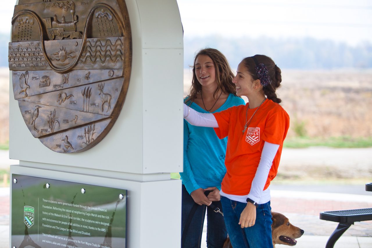 Fort Wayne, New Haven, Leo-Cedarville, Monroeville, and Allen County, and its other municipalities celebrated the completion of the 125th mile of multipurpose trail in our community in late 2021. This is an extraordinary accomplishment and has been possible through the work of countless individuals for the past forty-four years. Citizen advocacy, forward-thinking parks staff, and elected officials have together created a trail system that is a vital part of our existence in Fort Wayne.
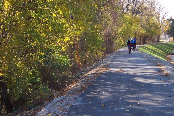 During the 1990s, the US Army Corp of Engineers completed several flood control projects along the river bank. The Maumee River Basin Commission completed a widening of the river near Coliseum Boulevard. After these projects were completed, the Maumee Pathway was extended along the new dikes and modified river bank from the confluence to the North River Road boat launch. The St. Joseph River received new pathways along the east and west bank of the St. Joseph River to Parnell Avenue. The St. Marys Pathway was rebuilt near Sherman Street as the existing trail was modified by the new floodwalls.

 2011 – Aboite New Trails, Rivergreenway Consortium, and Northwest Allen Trails announce that they have merged to become Fort Wayne Trails. The new citizen advocacy group continues to raise funds and advocate for trail development throughout our communities in Allen County.